
The geometric network is retired. Your migration shouldn't take a year.
Nutility turns years of accumulated network data into a clean Utility Network. Senior engineers design the asset package around how your utility actually runs; an AI agent workforce does the heavy lifting — so you're live in weeks, for a price you can put in a budget.
Live in four to six weeks, not twelve to eighteen months.
A manual migration drags on for quarters because people do the transformation by hand. We flip the ratio: engineers make the decisions up front, agents do the volume in parallel. Here's how a typical engagement runs.
- Week 0
Readiness assessment
We read your geometric network geodatabase and score it — schema, connectivity, data quality, crosswalk fit. You get a clear picture and a fixed not-to-exceed price before anything starts.
- Weeks 1–2
Asset package design
Senior engineers design your Utility Network asset package, domains, rules, and subnetworks around how your utility actually runs — not a generic template.
- Weeks 2–4
Agent-run transformation
Agents do 85%+ of the work — features, attributes, connectivity, and associations — transforming your estate onto the Utility Network at a pace no manual team can match.
- Weeks 4–5
Validation & remediation
Continuous validation against your model surfaces dirty areas and rule violations early. Agents remediate; engineers review every feature class.
- Weeks 5–6
Engineer sign-off & go-live
A senior engineer signs off on a connected, traceable network. We hand it over for you to run — or stay on for ongoing maintenance.
Engineer-led decisions. Agent-run volume.
The reason migrations fail or overrun is almost never the volume of data — it's the modeling decisions and the validation. We put senior engineers on the former and an AI workforce on the latter, with a human in the loop on every decision that matters. The agents move fast; the engineers stay accountable.


Every migration sharpens the playbook.
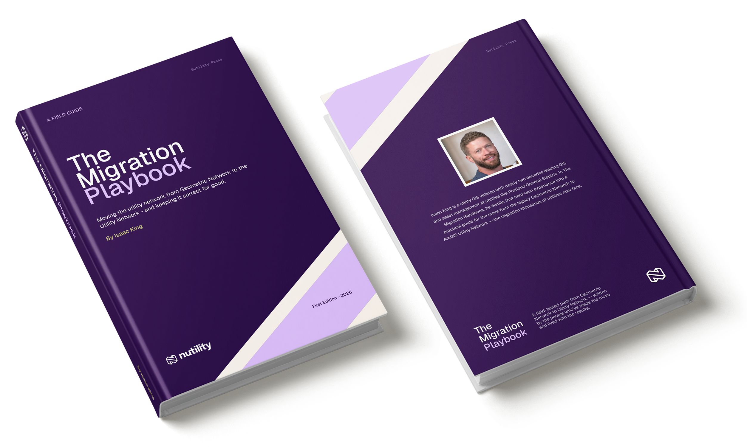
We keep a working field guide — the modeling patterns, the connectivity gotchas, the crosswalks that hold up under audit — and every engagement we run adds to it. It's the accumulated craft our engineers build from, so your migration starts on the far side of lessons other utilities paid to learn.
The Migration Handbook · our internal field guide, maintained by the engineering team
What will a Utility Network migration cost us?
Five quick inputs, no login. You'll get a budgetary range you can take to your board. Tell us more and the range tightens — a short readiness assessment turns it into a fixed not-to-exceed number.
The questions and pricing levers differ by domain.
Budgetary range
Pick a network to start. Most standard migrations land in this band; complex systems and very large networks scope higher.
Budgetary estimate, not a quote. Final price depends on the levers above plus data quality and subnetwork complexity — confirmed during a readiness assessment, where we tighten this to a fixed not-to-exceed. The assessment is a flat $10K, credited toward your migration if you proceed.
It starts with a readiness assessment.
Before a single feature moves, we read your geometric network geodatabase and score it — schema alignment, connectivity integrity, data quality, and how cleanly it crosswalks to the real Esri asset packages. The output is a clear readiness picture and a fixed not-to-exceed migration price. It's a flat $10,000, credited in full toward your migration if you move forward.
- A measured UN-readiness score across eight dimensions
- A crosswalk to the genuine Esri Utility Network asset packages
- Findings ranked by severity, with a fixed-price path to go-live
How the migration works.
The common questions utilities ask before moving off the geometric network.
What are the steps in a migration?
How long does it take?
How disruptive is it to our operations?
What do you need from us to get started?
Do we need Esri licenses, ArcGIS, or Windows on our side?
What happens to our downstream systems — billing, OMS, AMI?
Move off the geometric network in weeks.
Start with a readiness assessment — a clear score, a crosswalk, and a fixed not-to-exceed price, before you commit to anything.
Get the latest updates
Subscribe to our newsletter
Utility Network migration insights and field notes from the geometric-network exodus — a few times a quarter, no fluff.

An AI agent workforce for utility GIS — off the retired geometric network and onto the Esri ArcGIS Utility Network, backed by senior engineers.
Littleton, CO 80123